Points of Interest
ProcessAbout
Points of Interest is an ongoing data-driven landscape photography project that explores how technology—specifically satellite imagery, computer mapping systems, and spatial analysis tools and techniques—can be used to define and explore our sense of place. By layering the geographic footprints of years of satellite imagery I create "interest surfaces" that show areas that have been photographed frequently from space, areas that have been photographed infrequently from space, and all the areas in between. I then travel to the areas of high and low collection or interest and photograph the landscapes that I find there. This work examines how technology creates new views of the landscape that expose tensions between of our increasing fixation on location and our dwindling sense of place.
Read more about the project in the Parsons Journal of Information and Mapping Volume VI, Issue 4.
Points of Interest in the United Arab Emirates As Defined by Commercial Satellite Imagery Collection, 1986-2013
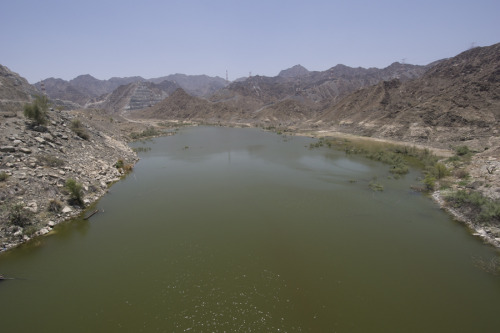
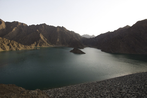 Point of highest collection, Dubai
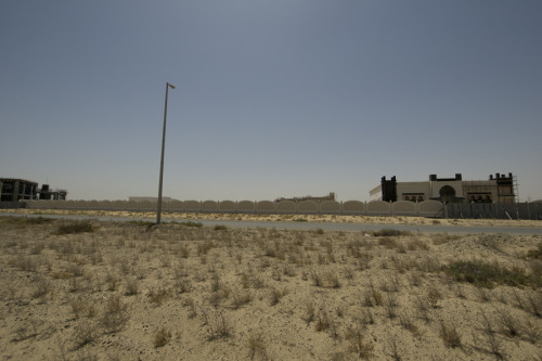
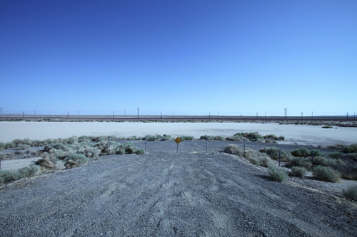
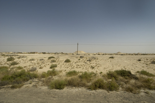 Point of lowest collection, Dubai
 Point of highest collection, Sharjah
 Point of lowest collection, Sharjah
Points of Interest in Washoe County As Defined by Commercial Satellite Imagery Collection, 1986-2011
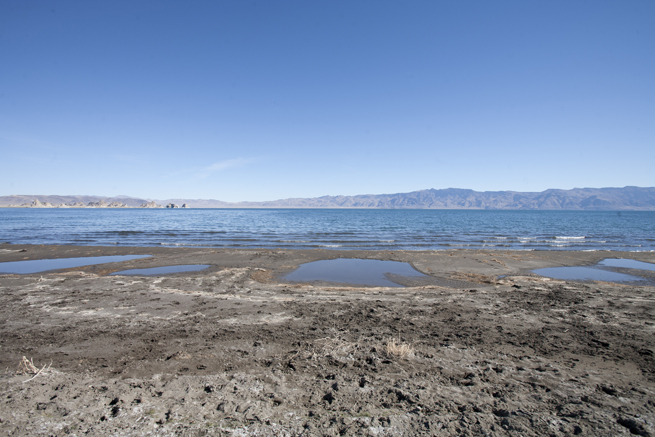
 Point of highest collection, Washoe County
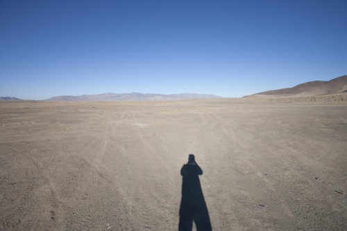
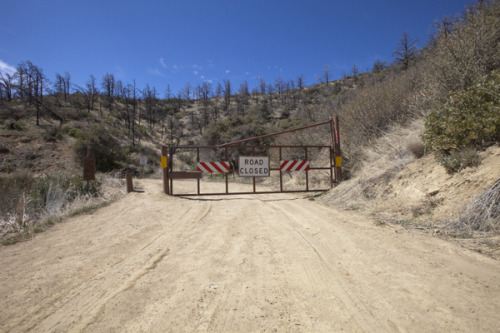
 Point of lowest collection, Washoe County
Points of Interest in Southern California As Defined by Commercial Satellite Imagery Collection, 1986-2011
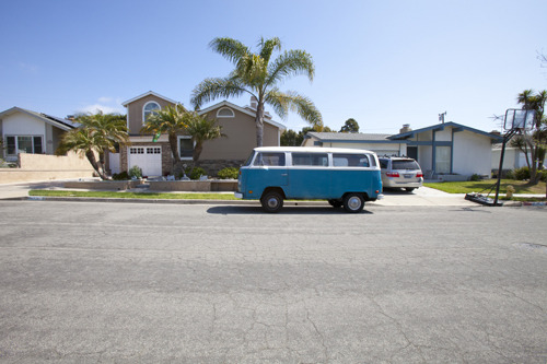
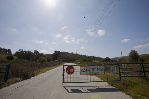
 Point of highest collection, Los Angeles County
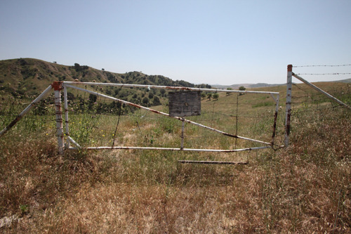
 Point of lowest collection, Los Angeles County
 Point of highest collection, Ventura County
 Point of lowest collection, Ventura County
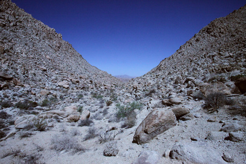
 Point of highest collection, Kern County
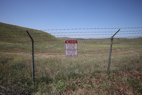
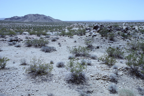
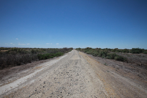 Point of lowest collection, Kern County
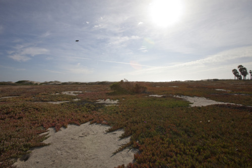
 Point of highest collection, Orange County
 Point of lowest collection, Orange County
 Point of highest collection, Riverside County
 Point of lowest collection, Riverside County
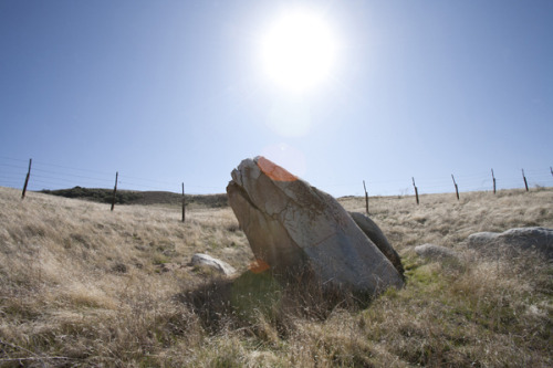
 Point of highest collection, San Bernardino County
 Point of lowest collection, San Bernardino County